Curated Collections

Ready-made Routes

Start your next adventure from a proven professional trail guide. Our cartographers have curated the most scenic, technically accurate hikes so you can spend less time planning and more time exploring.

Sort By
CuratedEasy
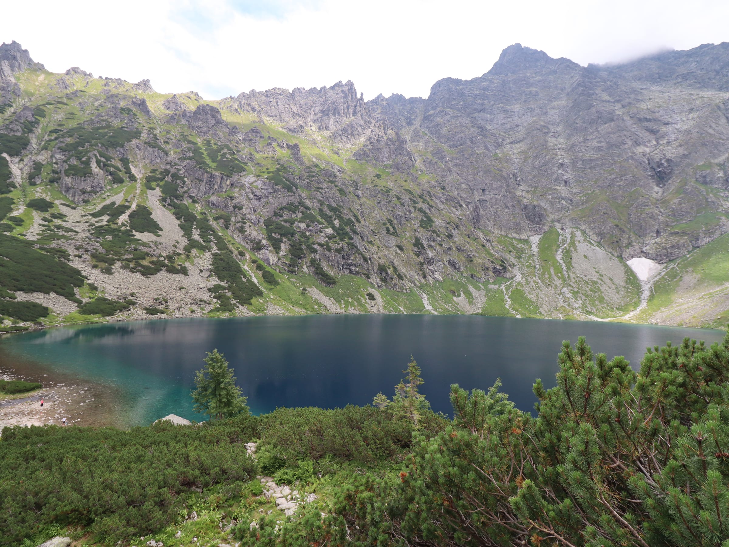
Tatry Wysokie, TPN

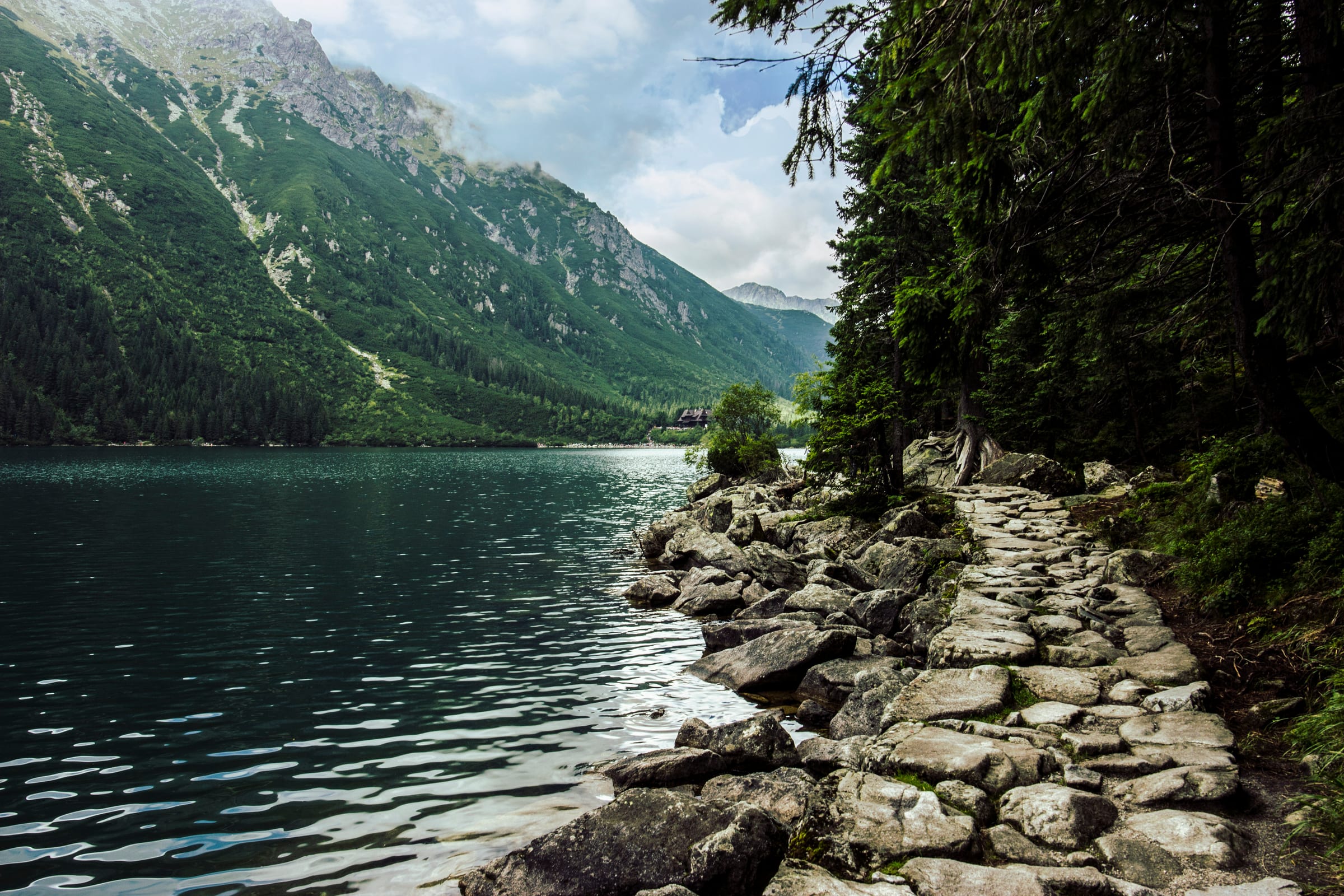
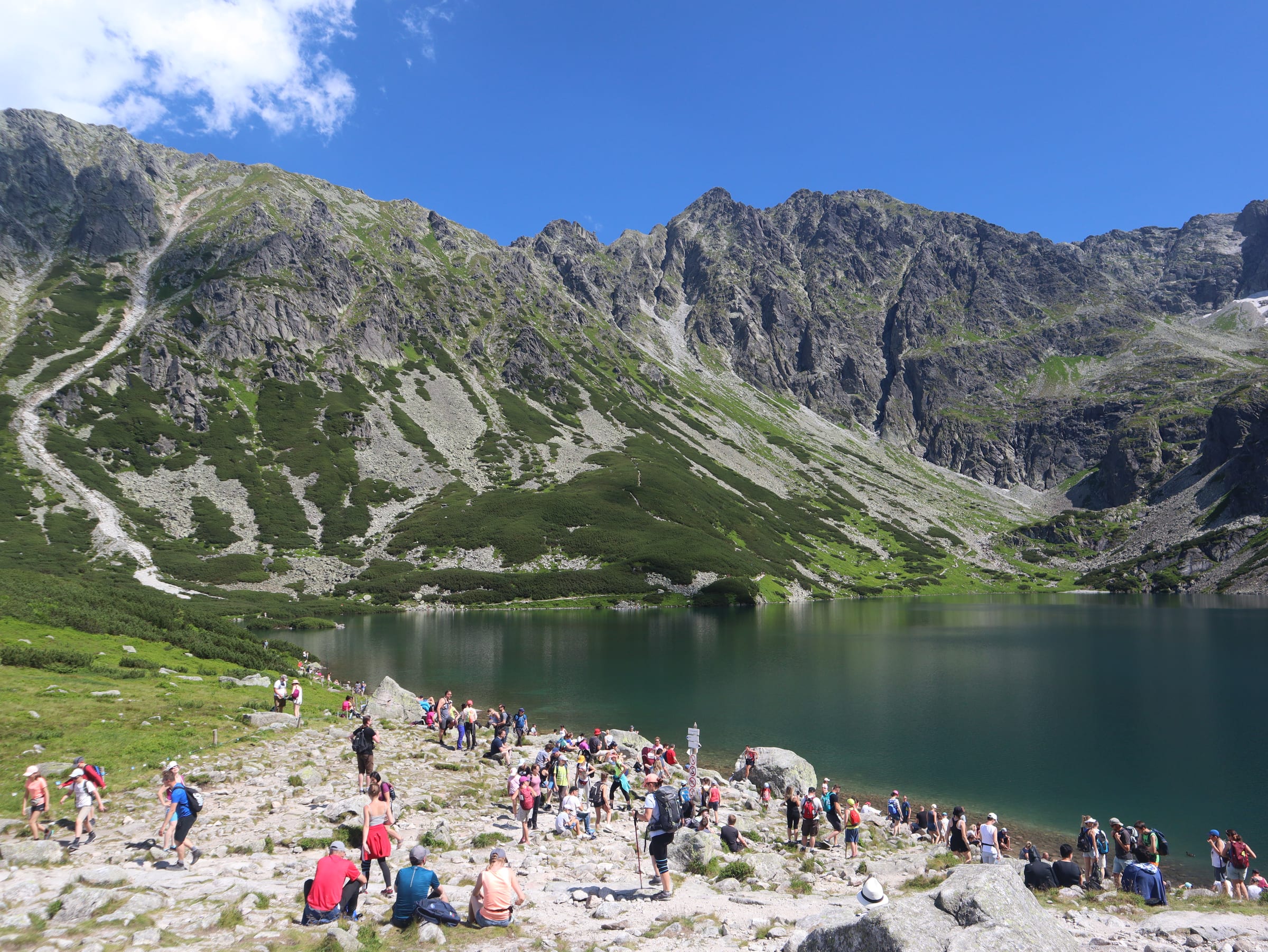
Morskie Oko: The Full Circle

This variant keeps the same famous destination but changes how you experience it. After the hut, you leave the wide road for a natural stone path along the lake—especially rewarding on the quieter eastern shore where granite walls feel close and reflections are often mirror-still. Expect rugged…

Distance18.0 km
Elevation758 m
CuratedMedium
Tatry Wysokie, TPN

Morskie Oko: The Alpine Upgrade

This is the demanding extension for hikers who already cover the approach to Morskie Oko and want the Tatras' most iconic elevated viewpoint. From the hut, a sustained climb on steep granite steps lifts you roughly two hundred metres above the main lake to Czarny Staw pod Rysami (1,583 m). From the…

Distance19.1 km
Elevation946 m
CuratedEasy
Western Tatras, TPN

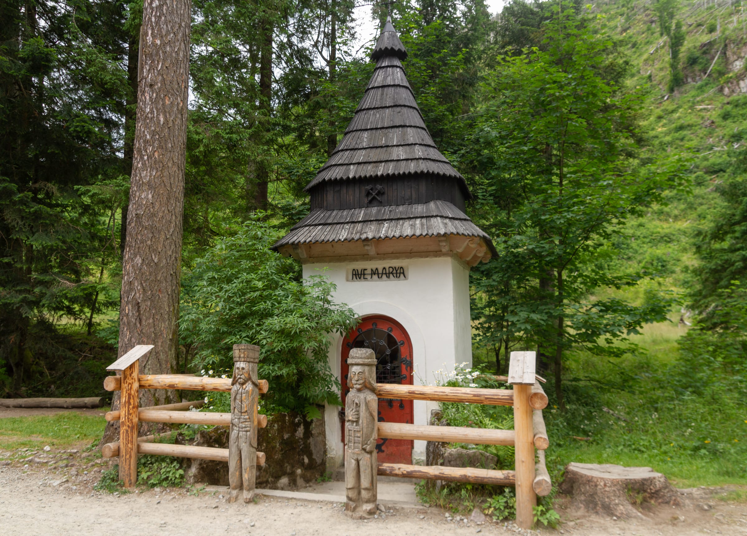
Dolina Kościeliska: Essential Valley

Dolina Kościeliska is one of the most varied "easy" valleys in the Polish Tatras: limestone gates, side caves, forest shade, and broad meadows in a single approachable day. The gradient stays moderate almost throughout, so you can focus on scenery and atmosphere rather than exposed climbing. The…

Distance11.1 km
Elevation425 m
CuratedMedium
Western Tatras, TPN

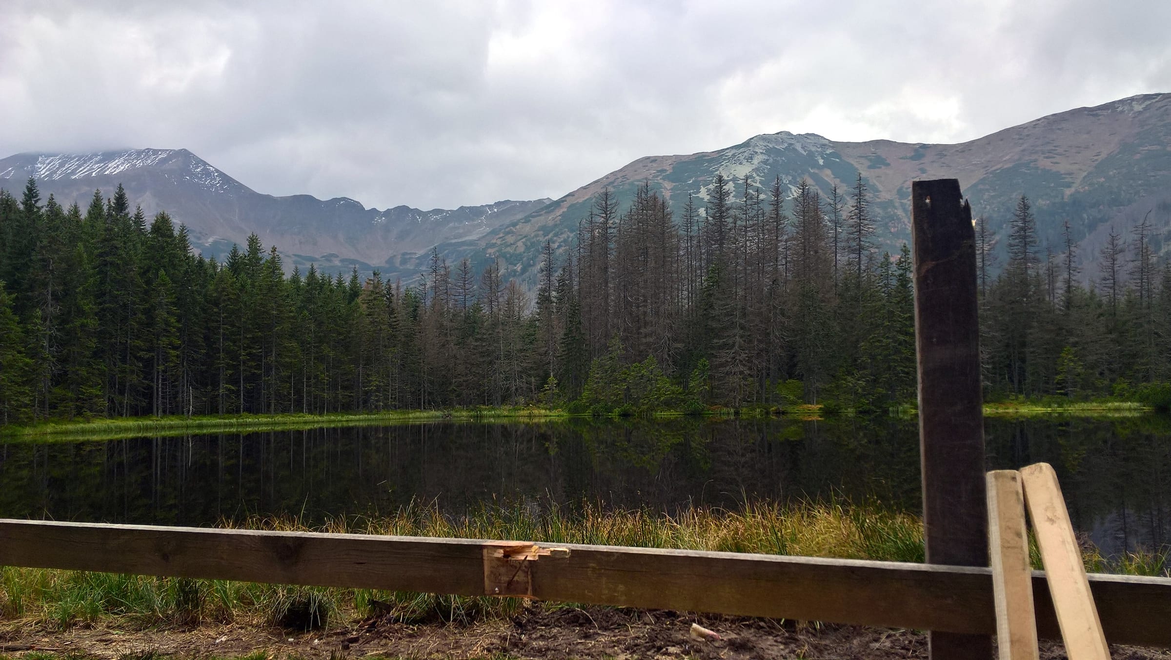
Dolina Kościeliska: The Forest Lake

This variant is the classic Kościeliska day plus the valley's signature "hidden lake" finish. You still enjoy the full gentle approach through gates and meadows to Ornak, then trade the wide road for a steeper forest path up to Smreczyński Staw. The last stretch is noticeably tougher than the…

Distance13.4 km
Elevation568 m
CuratedEasy
High Tatras, TPN

Rusinowa Polana: High Tatra Balcony

Rusinowa Polana is the Tatras' most approachable high meadow with a true "front row" on the main ridge—Gerlach, Rysy, and neighbours rise directly across the valley. A wide, gently sloping forest path from Wierch Poroniec keeps the physical load modest while the scenery feels anything but.…

Distance6.4 km
Elevation199 m
CuratedMedium
High Tatras, TPN

Rusinowa Polana: The Peak & Sanctuary

This version layers a real summit onto the easy meadow approach. You still reach Rusinowa Polana as the social heart of the day, then climb Gęsia Szyja (1,489 m) for a full 360° panorama over Polish and Slovak peaks. The ascent is dominated by long wooden and stone stair flights—hard on knees and…

Distance9.9 km
Elevation553 m
CuratedMedium
Western Tatras, TPN

Dolina Strążyska: The Forest Ridge

Dolina Strążyska pairs a pleasant valley approach with a short but punchy climb to Czerwona Przełęcz—a classic "two-act" Tatra day from Zakopane. The lower section follows forest road and meadow (Polana Strążyska) with hut benches and shepherd atmosphere before the gradient steepens. The passage to…

Distance6.1 km
Elevation433 m
CuratedMedium
Western Tatras, TPN

Dolina Strążyska: Sarnia Skała Viewpoint

This is the full Strążyska package: meadow, pass, and the popular Siklawica detour. You still earn Czerwona Przełęcz's bird's-eye take on Giewont, then add the double cascade for sound, spray, and a different scale of landscape. Surfaces mix gravel road, steep stairs, narrow forest tread, and wet…

Distance6.7 km
Elevation494 m
CuratedMedium
High Tatras, TPN

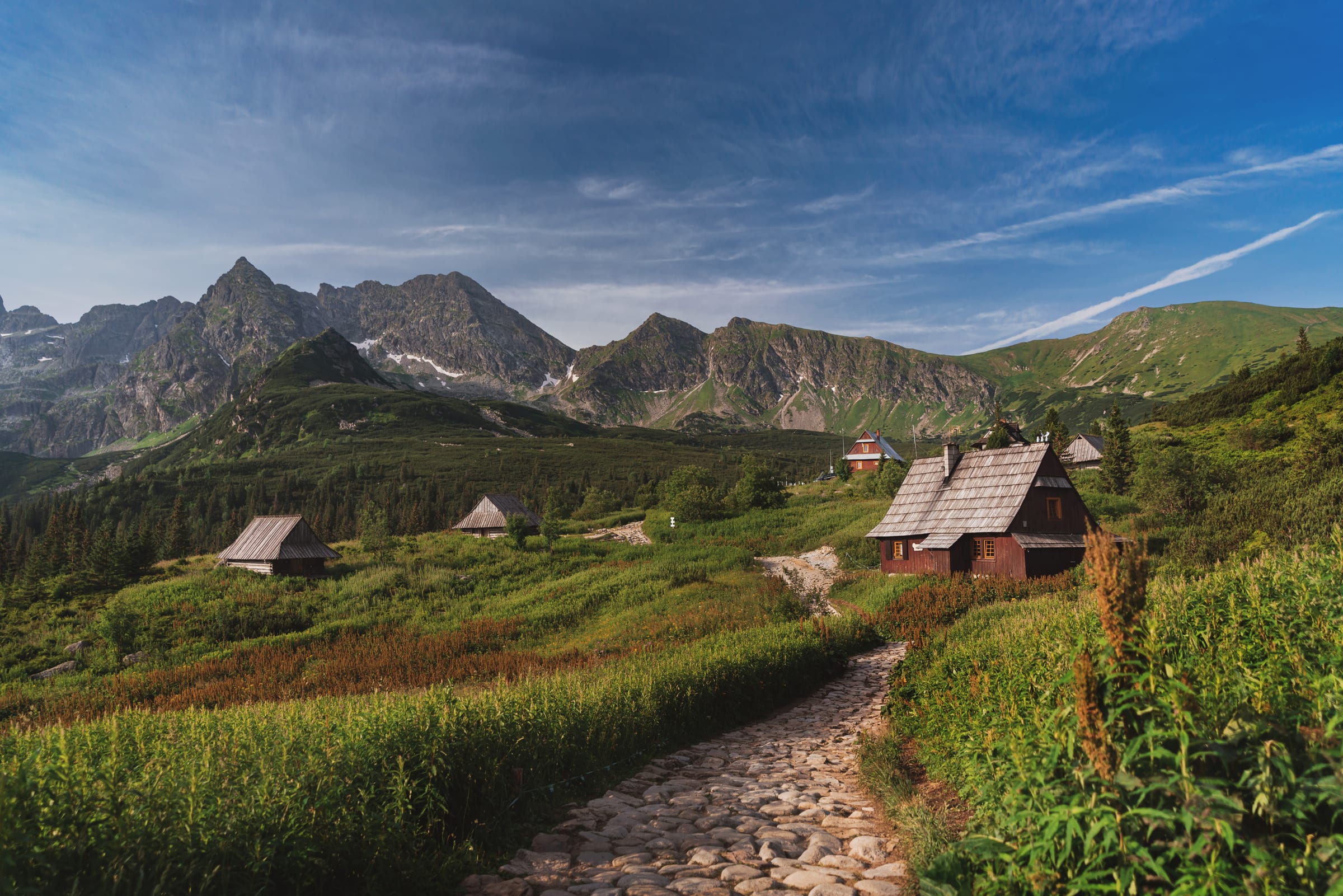
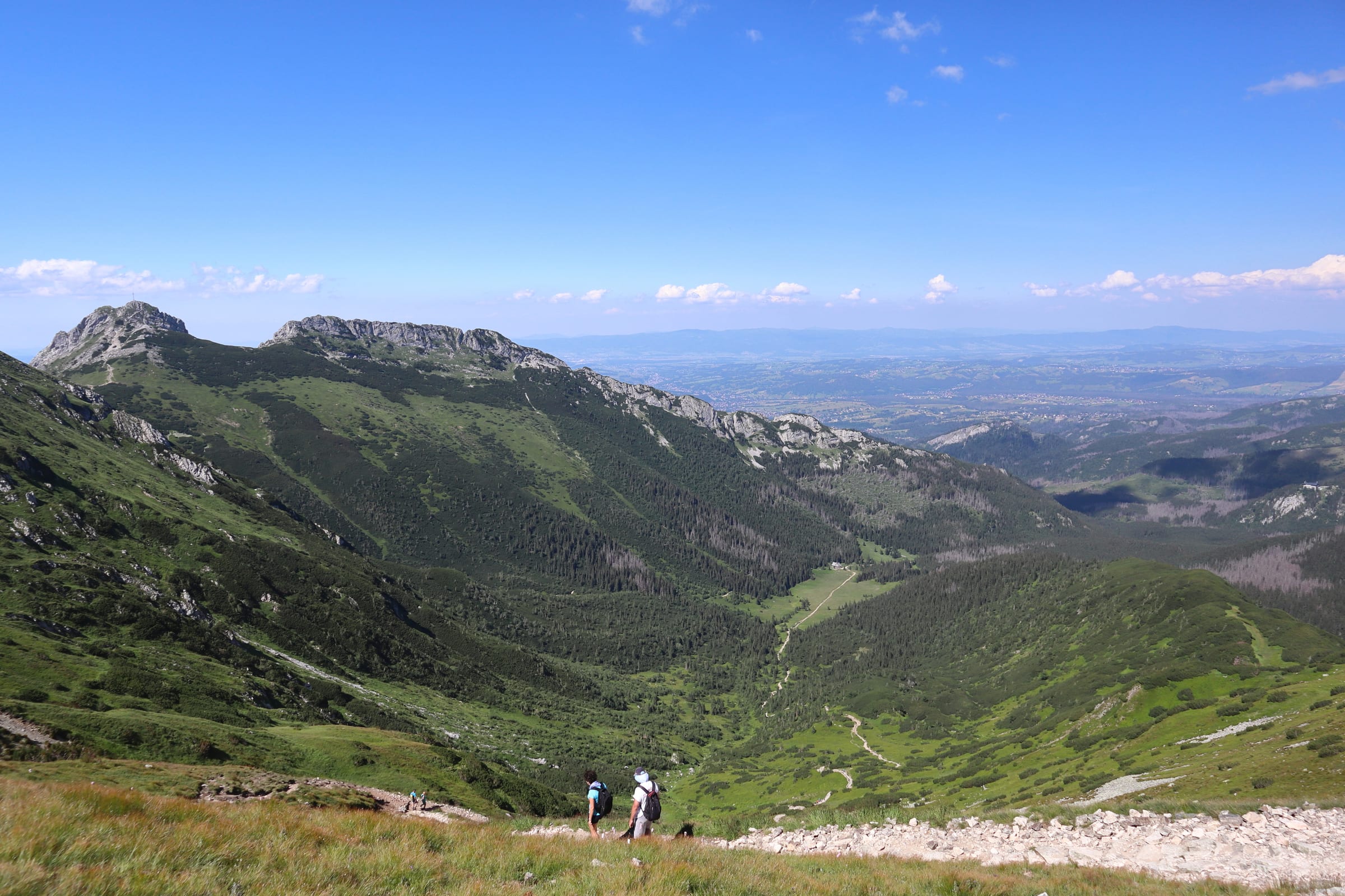
Hala Gąsienicowa: The Alpine Classic

The Kuźnice–Gąsienicowa loop is the famous "first taste of high Tatra basin" hike: forest approaches, a ridge interlude, then the wide stone-pasture amphitheatre beneath Orla Perć. Historic huts and granite walls deliver a strong alpine mood without chains on the standard loop. Underfoot you mostly…

Distance9.4 km
Elevation692 m
CuratedHard
High Tatras, TPN

Hala Gąsienicowa: The Emerald Lake Upgrade

This extension keeps the classic Gąsienicowa loop and pushes to the turquoise glacial lake at 1,624 m—the emotional centre of the basin. Kościelec and the walls toward Zawrat tower overhead, so the scale shifts from "big views" to vertical cliff-and-water drama. The approach from Murowaniec crosses…

Distance12.4 km
Elevation864 m
CuratedMedium
Tatrzański Park Narodowy

Wielki Kopieniec: The Pastoral Peak

Wielki Kopieniec from Jaszczurówka is a compact "high reward" summit above Zakopane: forest approach, pastoral Polana Kopieniec with shepherd huts, then a rocky top at 1,328 m with sweeping 360° views toward Giewont and the High Tatras. The final pull uses limestone stairs and natural rock—often…

Distance8.1 km
Elevation486 m
CuratedMedium
Tatrzański Park Narodowy

Wielki Kopieniec: The Forest Traverse

This variant turns the Kopieniec hike into a logical one-way traverse: same panoramic summit and meadow drama, then a longer, quieter forest descent to Toporowa Cyrhla—Zakopane's high suburb with its own views back toward the ridge. You trade a simple out-and-back for bus or taxi planning between…

Distance7.1 km
Elevation483 m
CuratedMedium
Western Tatras, TPN

Nosal Ridge via Olczyska

Nosal is a short, steep ridge outing from Kuźnice: stone stairs to Nosalowa Pass, exposed limestone shelves on the summit at 1,206 m with a frontal "Sleeping Knight" view of Giewont, then a relaxed forest drop through Olczyska Polana toward Jaszczurówka. The crux is slick limestone on the ridge…

Distance5.4 km
Elevation290 m
CuratedMedium
Western Tatras, TPN

Nosal Ridge & Wielki Kopieniec

This combines Nosal's rocky ridge and frontal Giewont drama with Kopieniec's open meadow and 1,328 m bald summit—two different flavours of "great view per hour" in one linked day. Expect steep stone on Nosal, then forest mileage and another climb from Olczyska that can hold morning ice well into…

Distance8.2 km
Elevation489 m
CuratedMedium
Western Tatras, TPN

Chochołowska Valley: The Pastoral Classic

Dolina Chochołowska is the Polish Tatras' longest gentle valley: a stream-lined road through open forest to the huge Polana Chochołowska, crocus displays in spring, wooden chapel atmosphere, and the park's largest hut for a long, low-technical day. Distance adds up—many hikers shorten the return…

Distance12.8 km
Elevation413 m
CuratedHard
Western Tatras, TPN

Chochołowska: The High Western Peak

Valley miles plus a real Western Tatra summit: you still cross Chochołowska's gentle approach and hut, then branch onto steeper yellow trail toward Grześ (1,653 m) for grassy-top panoramas toward Slovakia and the main Western ridge. The climb is a clear gear and fitness shift—roots, stone, and…

Distance18.2 km
Elevation930 m
CuratedHard
Western Tatras, TPN

Dolina Małej Łąki: The Giewont Cathedral

This Western Tatra loop is a quieter alternative to the busiest valleys, built around Wielka Polana Małołącka—a vast, level meadow where Giewont's north wall rises like a cathedral façade. The day mixes gentle lower tracks with a more rugged ridge passage and a forested descent through Dolina…

Distance17.7 km
Elevation1725 m
CuratedHard
Western Tatras, TPN

Giewont: The Sleeping Knight

Giewont (1,894 m) is Poland's most iconic summit—the "Sleeping Knight" cross visible from Zakopane. This itinerary strings together Kuźnice, Kalatówki meadow, Albertine monastery calm, Kondratowa basin, and Kondracka Przełęcz before the chained, exposed finish on polished limestone. Expect a full…

Distance11.5 km
Elevation1004 m
CuratedMedium
Pieniny, PPN

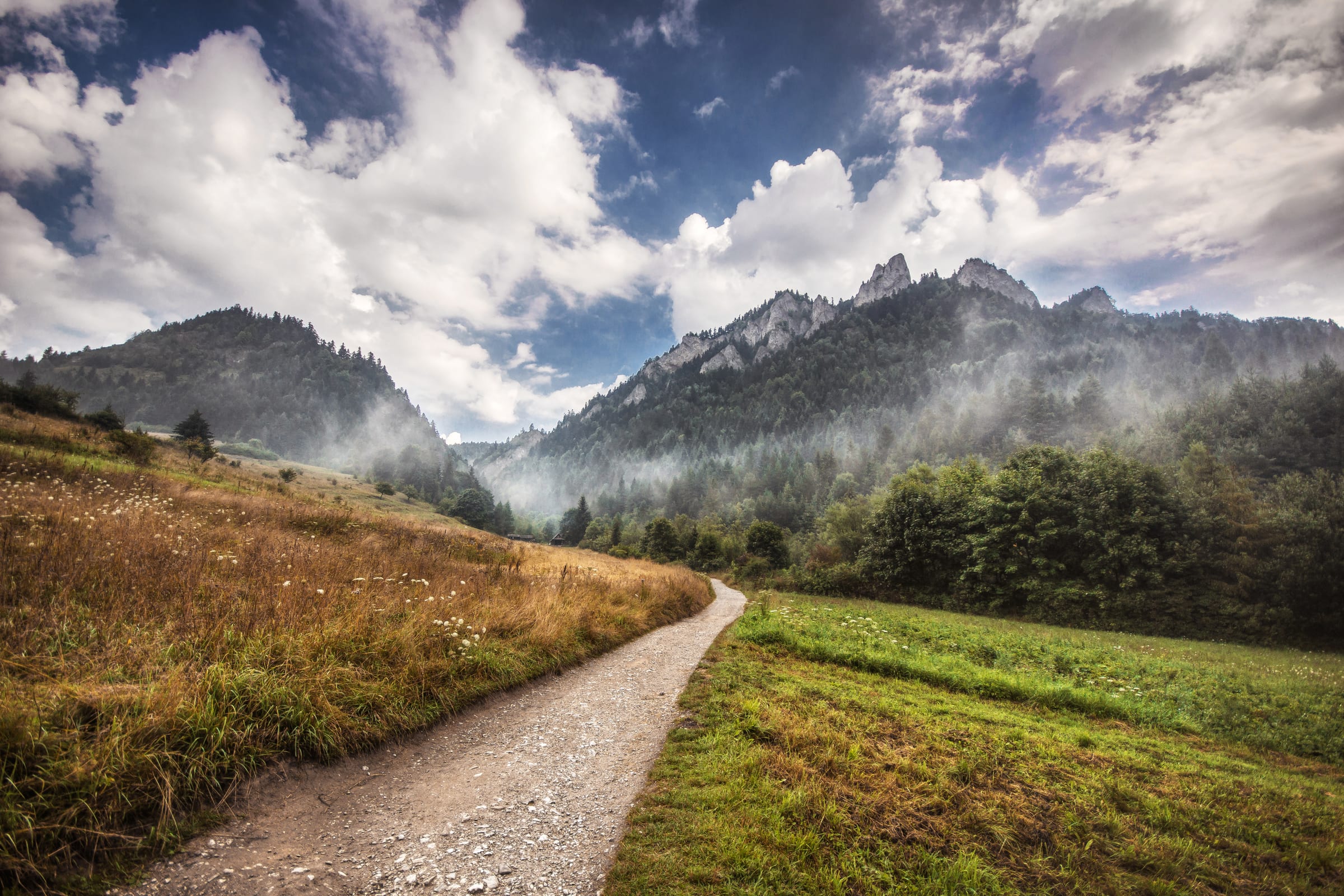
Trzy Korony: The Crown of Pieniny

This loop is the flagship Trzy Korony / Okrąglica day in the Pieniny: Sromowce Niżne, the white-walled Szopczański gorge, forest climb to Przełęcz Szopka ("Chwała Bogu" first big Tatra glimpse), then steel stairs to the hanging platform at 982 m over the Dunajec bend. Spring ice on the upper…

Distance8.4 km
Elevation677 m
CuratedMedium
Pieniny, PPN

Trzy Korony & The Hidden Castle

Same core Pieniny climax—gorge, pass, Trzy Korony platform—with an added historical layer at Zamek Pieniński. The castle ruins sit in deep forest and give context to the border hills Kinga and medieval power once watched over. You still face the icy upper-trail risk in cold months and seasonal…

Distance9.2 km
Elevation779 m
CuratedMedium
Bieszczady, BdPN

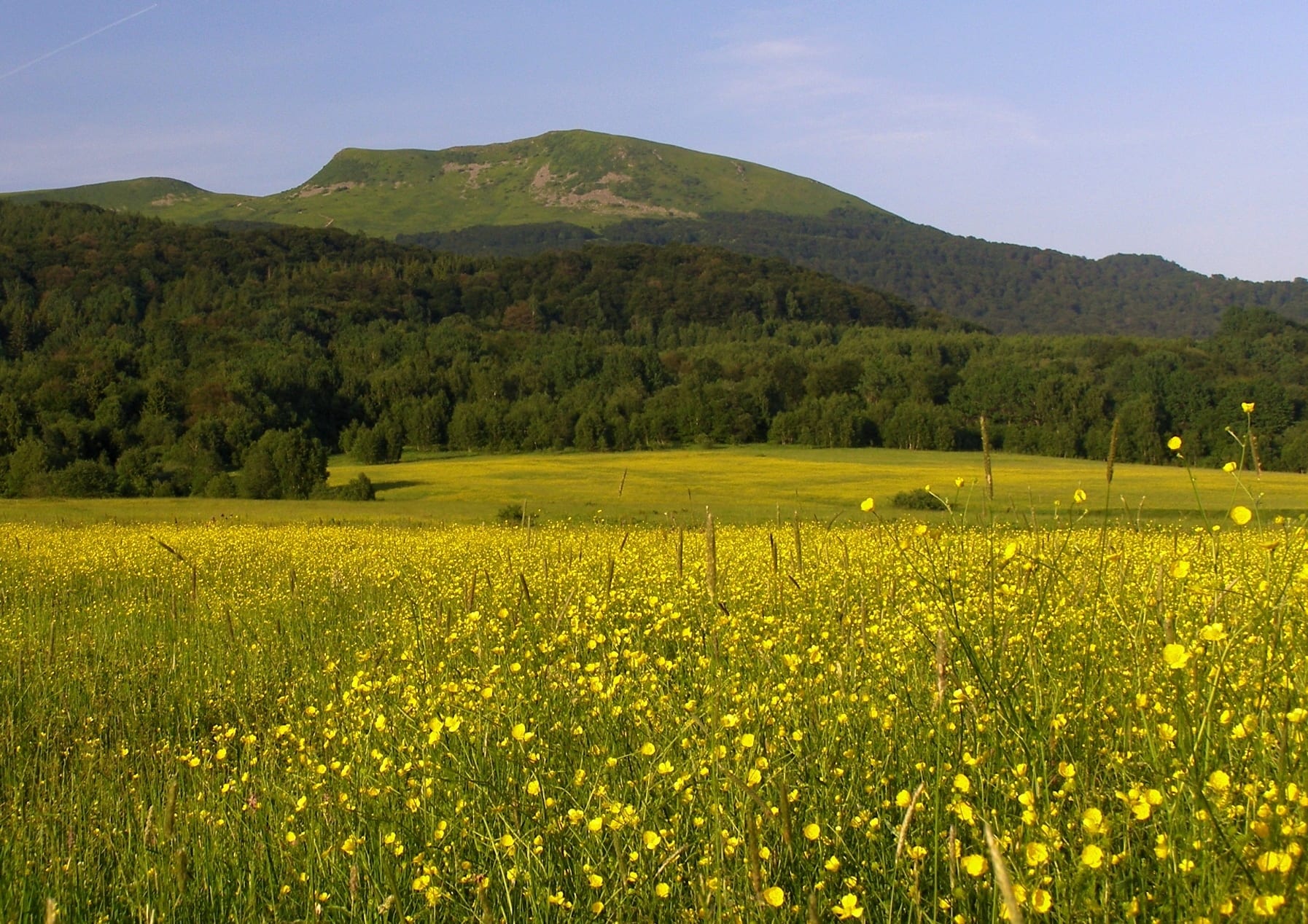
Tarnica: Natural & Historical Path

Wołosate to Tarnica is the Bieszczady signature: educational "tree and cross" markers through the story of a displaced Boyko village, Hucul horses at the trailhead, then beech forest ascent to Siodło and the open ridge to Poland's highest southern summit at 1,346 m. Terrain moves from valley peat…

Distance8.7 km
Elevation635 m
CuratedEasy
Góry Stołowe, PNGS

Szczeliniec Wielki: The Rocky Throne

Szczeliniec Wielki is the Table Mountains' crown: 665 historic stone steps to a maze-like sandstone plateau, the Pradziad "armchair" high point, terraces toward the Karkonosze, and the narrow Piekiełko fissure where snow and ice linger late into the year. The maze is narrow, stair-heavy, and not…

Distance3.3 km
Elevation218 m
CuratedMedium
Góry Stołowe, PNGS

Szczeliniec & The Sculpture Trail

This is the long Table Mountains traverse: Karłów up through Szczeliniec's stairs and maze, then down the far side to pastoral Osada Pasterka, hostel atmosphere, Czech-border viewpoints, and the themed Ścieżka Skalnej Rzeźby with natural sandstone sculpture. Logistics are point-to-point—you finish…

Distance9.2 km
Elevation376 m
CuratedMedium
Karkonosze, KPN

Skalny Stół: The Sentinel of Śnieżka

Skalny Stół from Karpacz's Krucze Skały threads Sowia Dolina—deep forest, medieval garnet lore, and a serious black-trail climb—then crosses Sowia Przełęcz to the flat rocky top at 1,281 m for one of the Karkonosze's great Śnieżka-facing panoramas. North-facing Owl Valley holds ice and hardpack…

Distance11.0 km
Elevation777 m
NewCuratedEasy
okres Náchod

Adršpach Rock Town: the Short Circuit

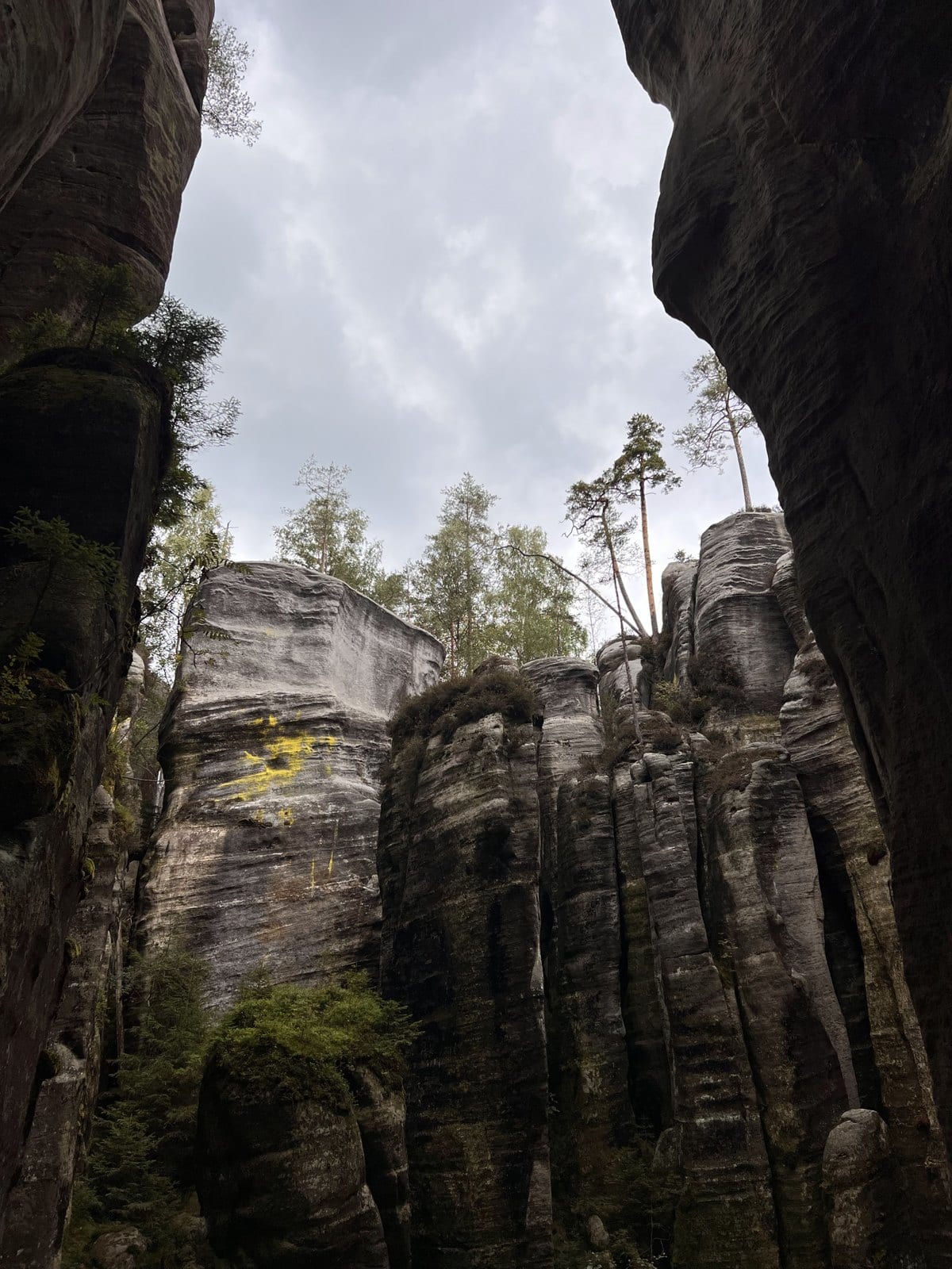
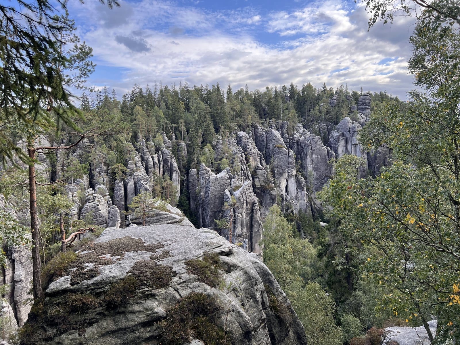
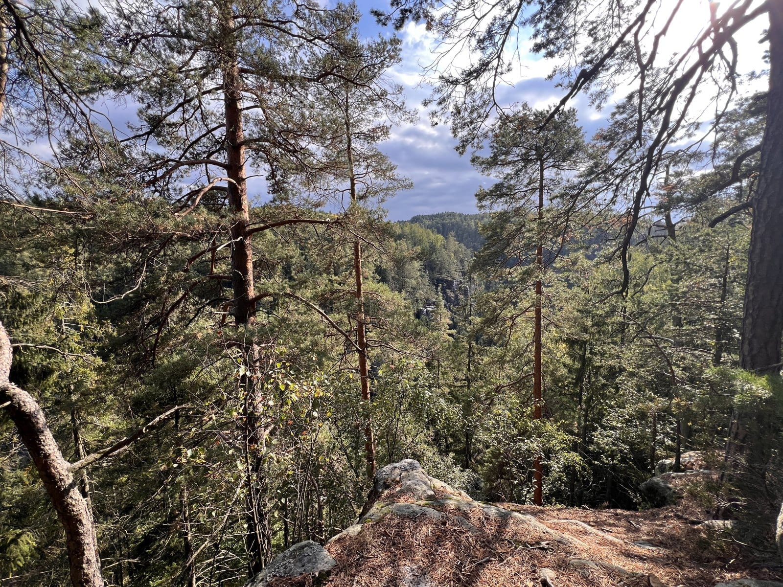
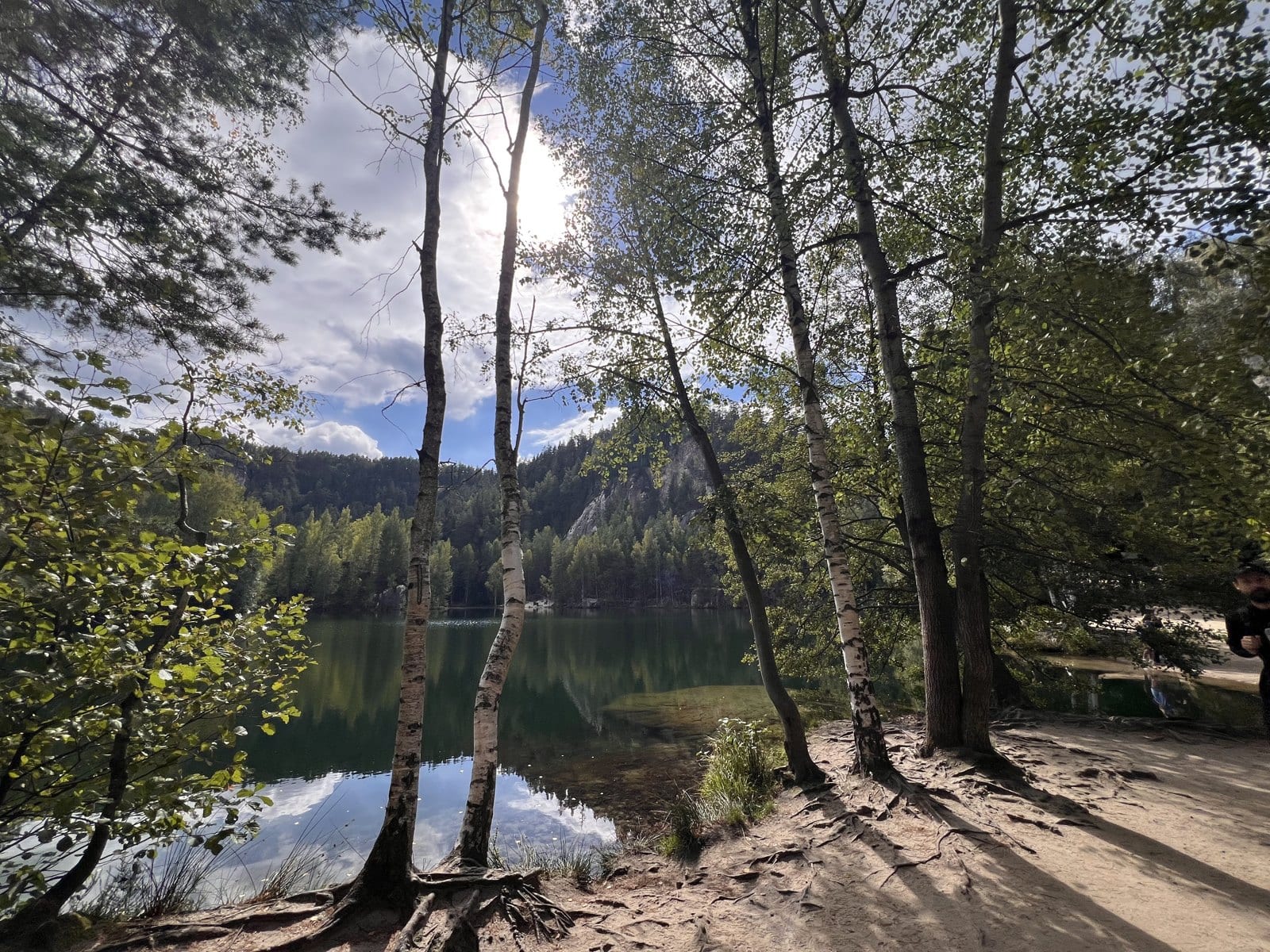
In the biggest rock town in Czechia, sandstone towers up to 81 m tall stand so close together that the path squeezes between them, through narrow clefts and a stone gate. Stairs beside a waterfall bring you up to the still, clear lake that feeds it, and steep steps higher up lead to the viewpoints.…

Distance4.1 km
Elevation172 m
NewCuratedMedium
Adršpach, okres Náchod

Adršpach Rock Town: the Full Circuit

Sandstone towers stand shoulder to shoulder at Adršpach, the tallest over 80 m, and the path squeezes between them. You hear the small waterfall in the gorge before you see it. Then you leave the rocks by Wolf Gorge, head up onto quiet forested high ground and circle home through the village past…

Distance14.9 km
Elevation480 m
NewCuratedMedium
okres Náchod

Two Rock Towns: the Full Day

Walk through two sandstone rock towns in a single day: Adršpach, with towers up to 81 m, and Teplice beyond it. You go through the Gothic Gate, past the clear lake at the bottom of the gorge, then up Wolf Gorge beside its waterfalls to the lookouts over Teplice. A long, quiet forest crossing takes…

Distance16.5 km
Elevation608 m
NewCuratedMedium
okres Náchod

Two Rock Towns: Adršpach to Teplice and back

Walk from one sandstone rock town into the next. You go in among the Adršpach towers, through the Gothic Gate and past the clear lake at the bottom of the gorge. Then you take the steps up the Wolf Gorge and cross the forest to Teplice, where the rock castle of Střmen stands over the second town. A…

Distance10.1 km
Elevation392 m
NewCuratedEasy
Shire of Serpentine-Jarrahdale, Western Australia

Kitty's Gorge: down to the Falls

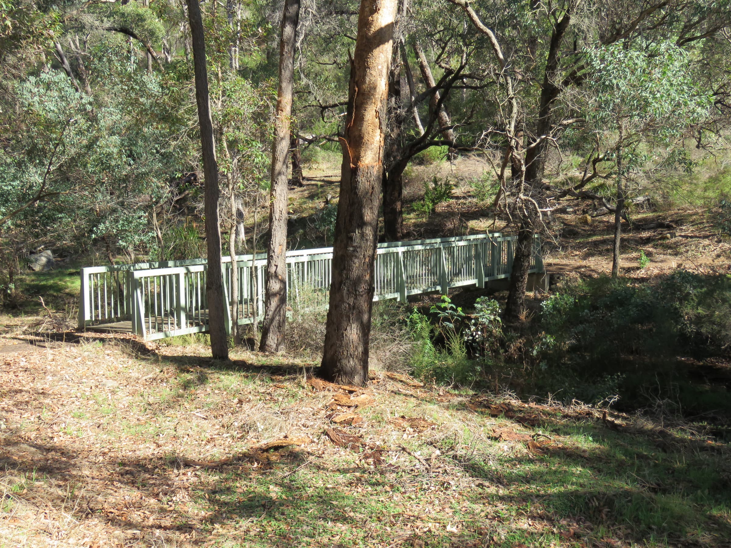
Walk down Kitty's Gorge from Jarrahdale to Serpentine Falls, through jarrah forest beside Gooralong Brook and the Serpentine River. It goes downhill almost the whole way, to the foot of the scarp. There the river pours over a wall of smooth granite into a deep pool ringed with rock, loudest after…

Distance7.1 km
Elevation136 m
NewCuratedEasy
Rottnest Island, Western Australia

Karlinyah Bidi: the Northern Beaches

Karlinyah Bidi follows Rottnest's north shore from bay to bay, with the sea beside you almost the whole way. Sandy beaches open up one after another, and at Stark Bay the path runs right along the back of the sand. The ground stays low, and the soft sand sets the pace. This shore is worth the ferry…

Distance5.5 km
Elevation140 m
NewCuratedEasy
City of Rockingham, Western Australia

Penguin Island: the Boardwalk Circuit

Penguin Island, 700 m off Rockingham, is home to a colony of little penguins, and a path takes you all the way round it. The path rises gently to a lookout over the sea, then comes back past the beaches to the jetty. It is a short walk on an island made for staying, with beaches to swim from and…

Distance1.4 km
Elevation19 m
NewCuratedEasy
City of Kalamunda, Western Australia

Victoria Dam: wall and forest

A long flight of steps takes you down onto the wall of Victoria Dam, where Western Australia's first dam was built. From the wall the reservoir opens out in front of you. Then the path turns into the jarrah forest and drops to an old timber tramway bridge on the brook, and the way back is one long…

Distance6.5 km
Elevation199 m
CuratedMedium
Ramsbeck, Hochsauerlandkreis

Ramsbeck: the Show Mine Walk

Follow Ramsbeck's mining trail, the Bergbauwanderweg, through forest where miners took lead and zinc out of the hills until 1974. Boards at the old pits in the trees tell you what you are looking at. It is half a day on foot: the path climbs out of the village, drops to the show mine and climbs…

Distance9.4 km
Elevation562 m
CuratedMedium
Meschede, Hochsauerlandkreis

Hennesee: the Bay and the Hill

You drop down to the Hennesee, a reservoir in the wooded hills above Meschede, and follow its shore into the forest. Then a proper climb over the Lannenberg on forest roads, steep for a stretch, and a long easy stroll back down to the water. It meets the lake again at the Berghauser Bucht, the…

Distance9.0 km
Elevation342 m
CuratedMedium
Heringhausen, Diemelsee (Hessen/NRW)

Diemelsee: Round the Lake

You cross the top of a 42 m dam wall in the first minutes, with the Diemelsee on one side and the basin below on the other. After about an hour and a half you reach the free beach at Heringhausen, the place for a swim on a warm day. After it the path stays by the water most of the way round the…

Distance12.8 km
Elevation398 m
CuratedMedium
Arnsberg, Hochsauerlandkreis — crosses into Märkischer Kreis

Biebertal: the Dicke Berta oak

Walk into the Luerwald, a big, quiet forest of beech and oak on the northern edge of the Sauerland, to a tree about 700 years old. She is the Dicke Berta, and it takes three or four people with their arms out to reach round her trunk. The loop drops to the hamlet of Lürbke, then climbs in stages to…

Distance11.2 km
Elevation278 m
CuratedMedium
Meschede, Hochsauerlandkreis

Hennesee: the Whole Way Round

Walk the whole way round the Hennesee, a forest reservoir in the Sauerland. The first half keeps to the water and is almost flat, past the lit stairway on the dam and on to the bathing place at Mielinghausen. Then the path climbs into the woods on the hill and drops back to Berghauser Bucht, the…

Distance15.8 km
Elevation598 m
CuratedHard
Szklarska Poręba, powiat karkonoski

Śnieżne Kotły: the Ridge Day

You climb out of Szklarska Poręba past a waterfall that falls 27 m in three leaps, up onto the bare top of the Karkonosze. From Szrenica you are above the trees, among granite boulders, with views from the Jizera hills to the Czech side of the range. The day's prize is Śnieżne Kotły: two glacial…

Distance21.1 km
Elevation1149 m

Can't find your perfect trail?

Use our pro-grade Map Studio to draw your own route from scratch using high-resolution topographic data.