
Know what you're getting into
See distance, elevation gain, and estimated time before you commit — so you can pick a trail that actually fits your day, not just your ambition.
No account needed. Just find your trail and go.
Wandoo helps you find the right trail, dial in the distance and difficulty, and navigate offline when you're out there — all without an account, a paywall, or switching between half a dozen apps.
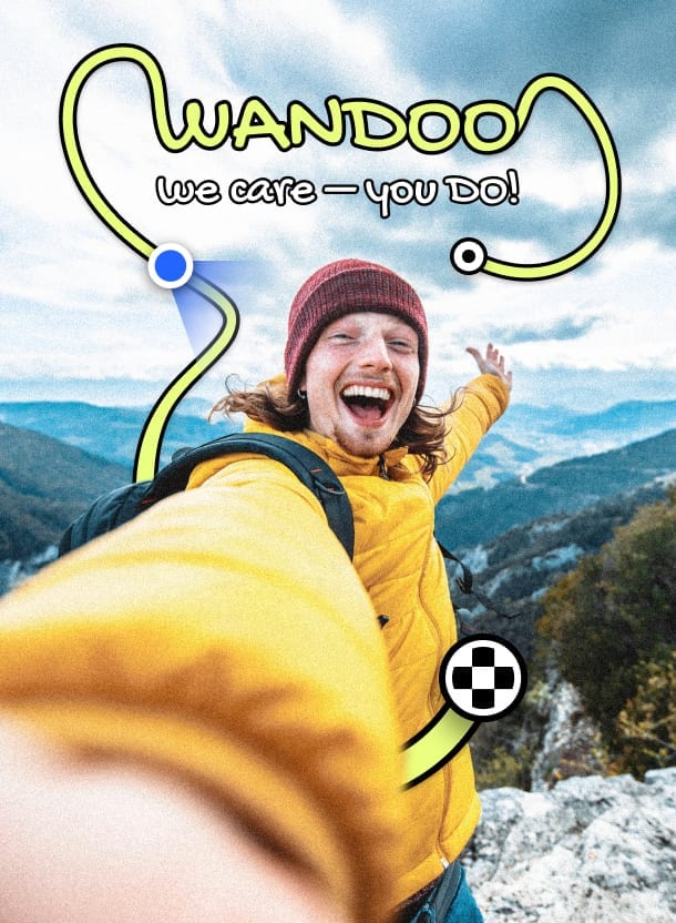

One app, start to summit
Use the full map when the planning takes thought. Switch to the app the moment the boots go on.
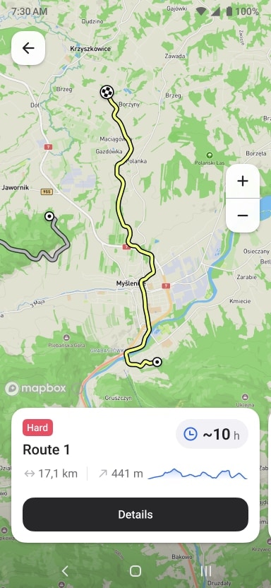
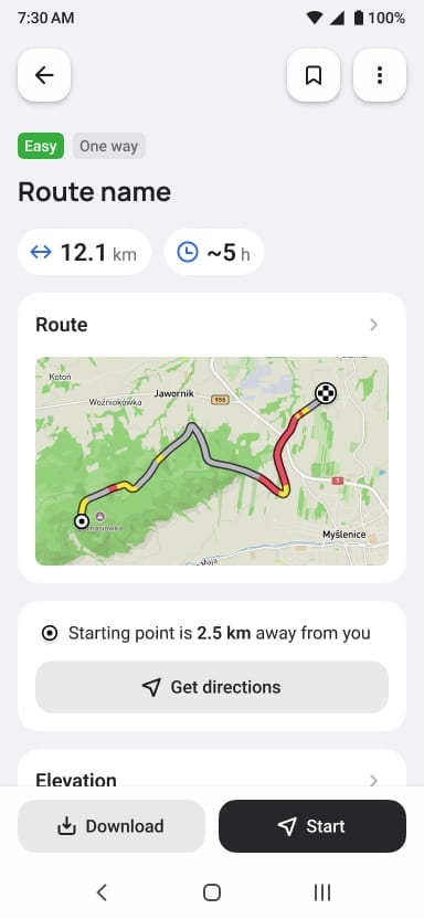
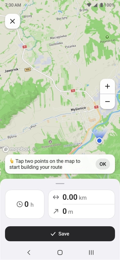
Drop a pin, set how far you want to go, and get a real trail back — with distance, elevation, and estimated time before you commit.
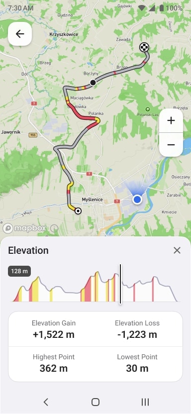
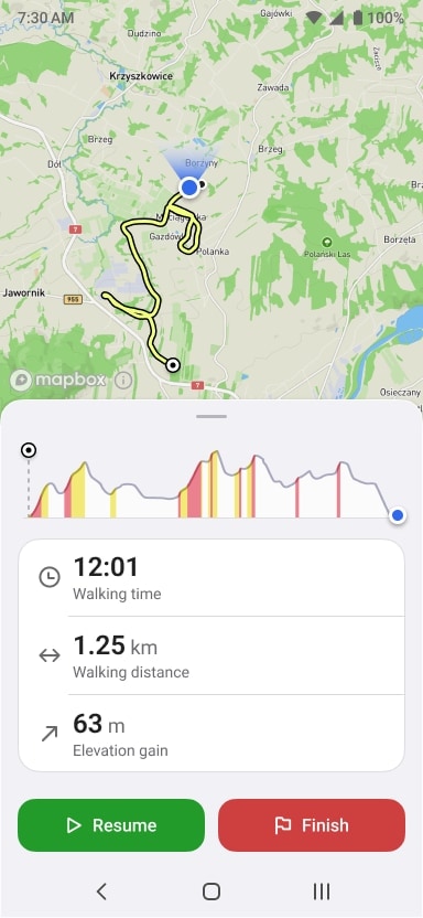
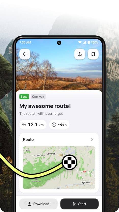
Plan a hikeYour planned route lives in your pocket. Follow it on the trail with a map, elevation profile, and live stats — no cell signal needed.
Get Android appAll your saved trails, always within reach — even without signal. A clean companion that stays out of your way until you actually need it.
Coming Soon!Your routes, everywhere
Shape the route on the web where you have room to think. Then open the app at the trailhead — everything you built is already there, ready to go offline.
Native apps with offline maps and live trail tracking — no signal needed.
Full map, elevation preview, and route generator — before you even tie your boots.
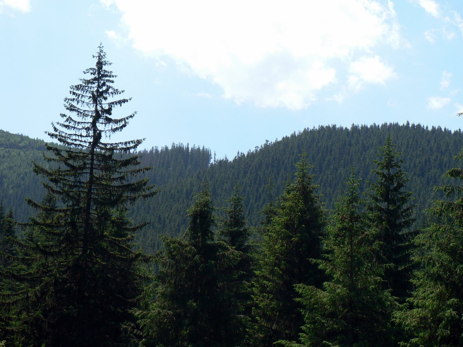
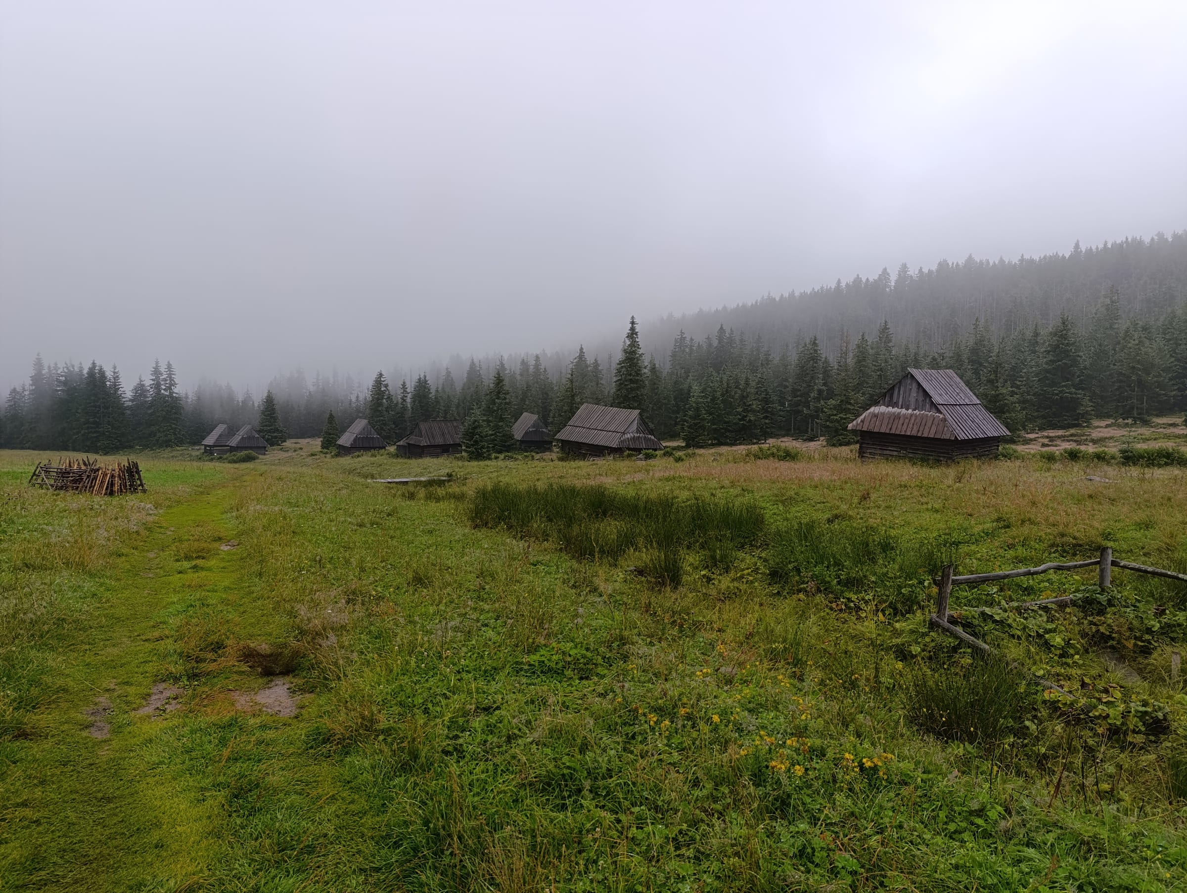
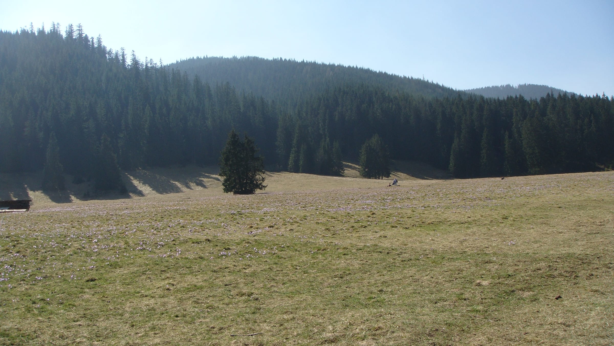
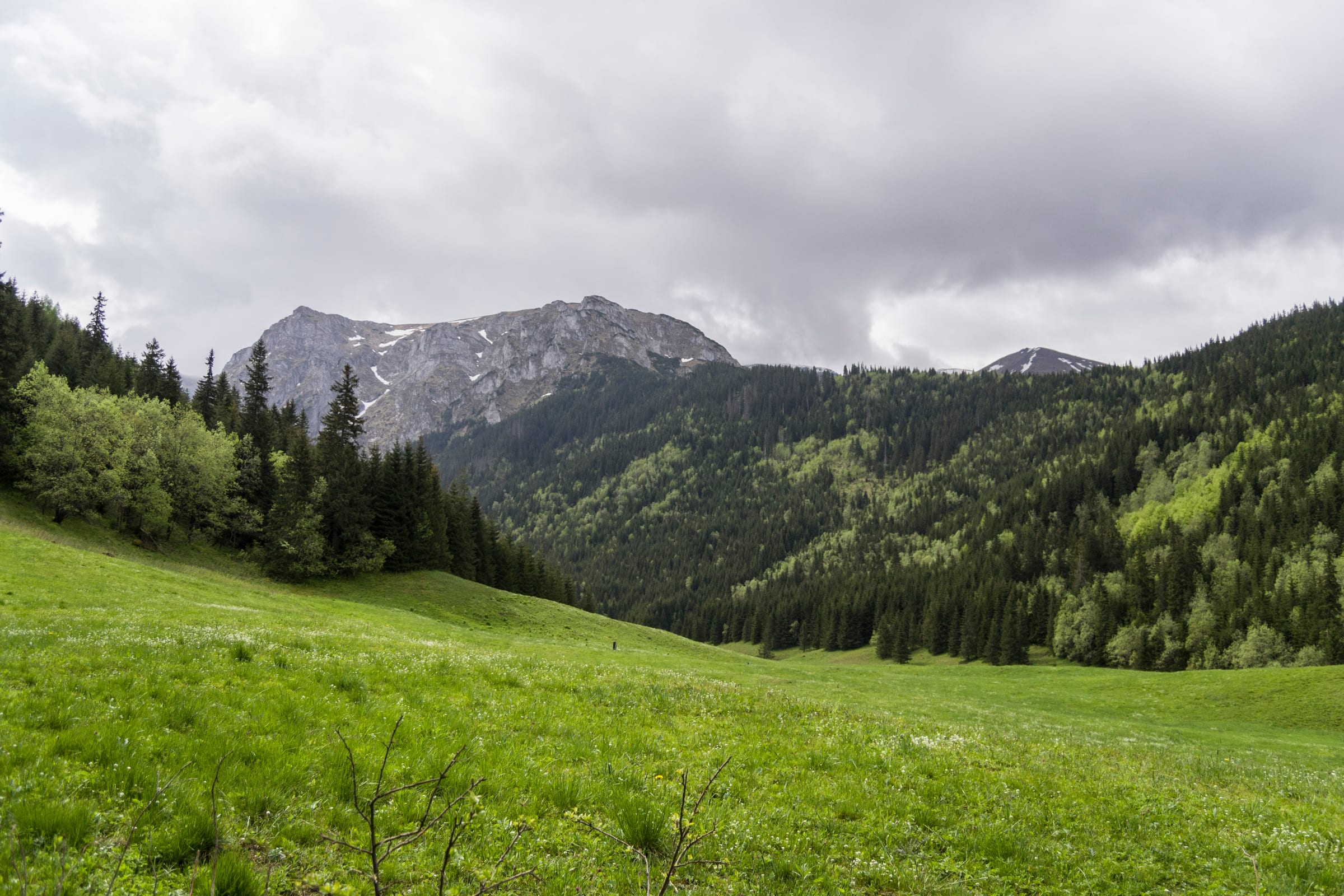
Curated trails
Real trails across some of Europe's most-loved hiking regions. Open any route, adjust it to your pace, or take it exactly as-is — no planning required.
 Easy
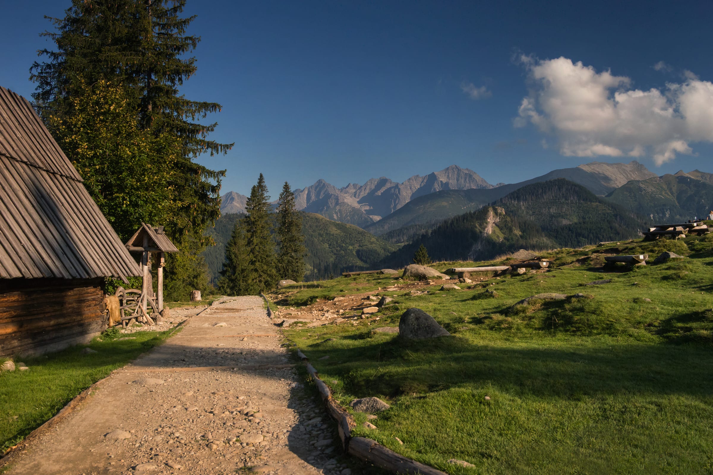
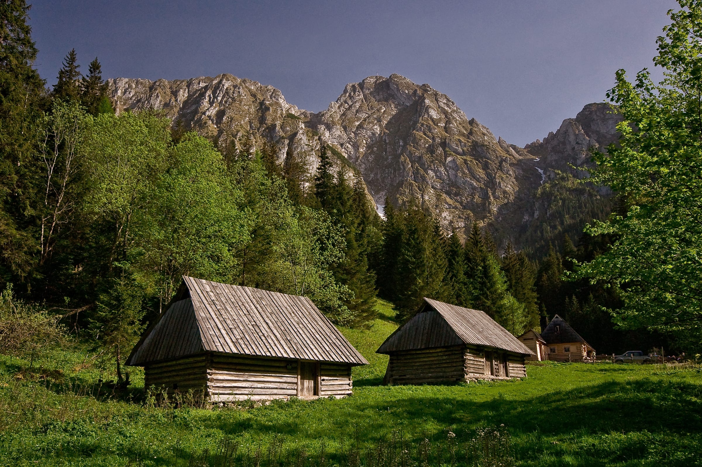
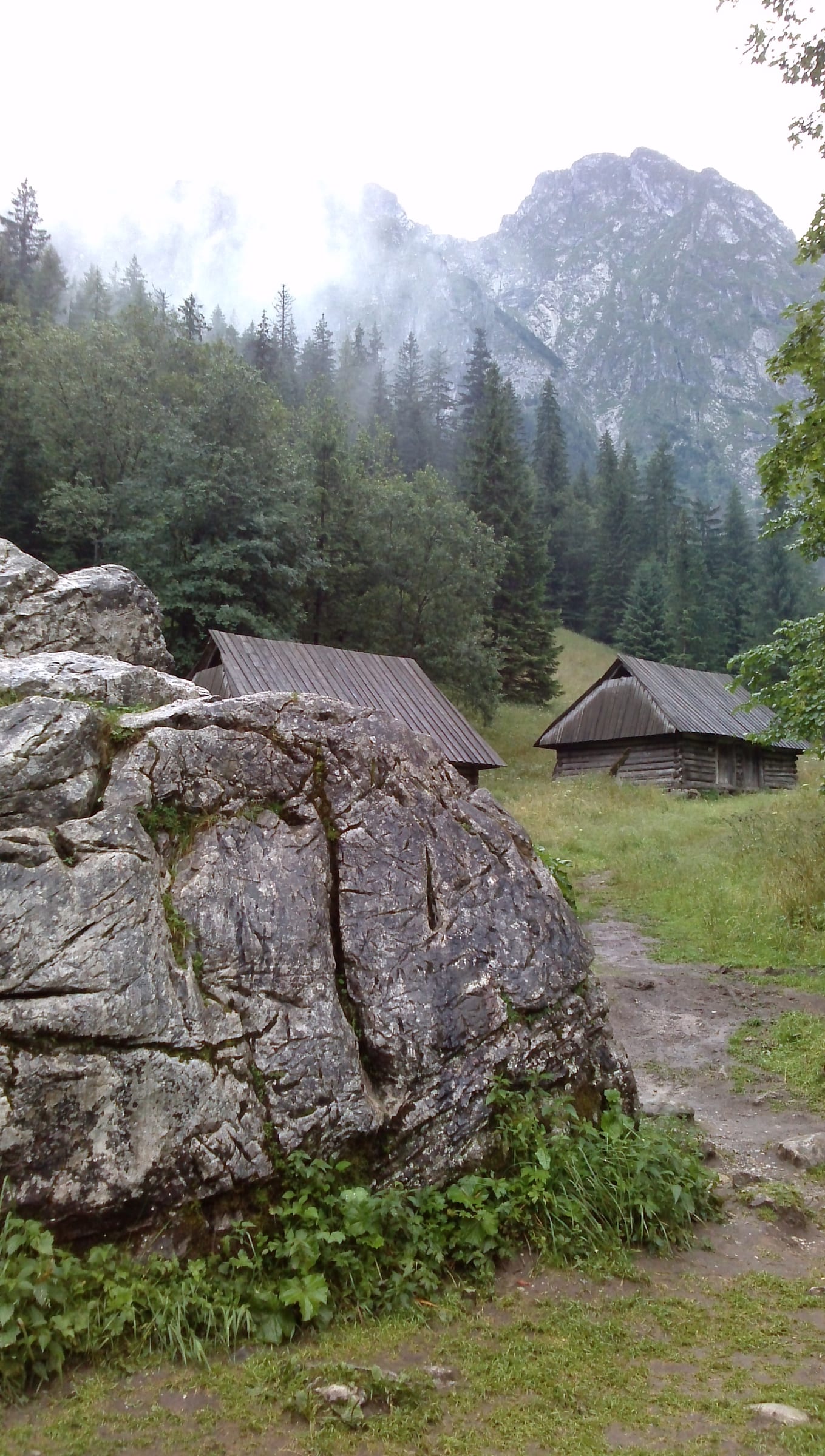
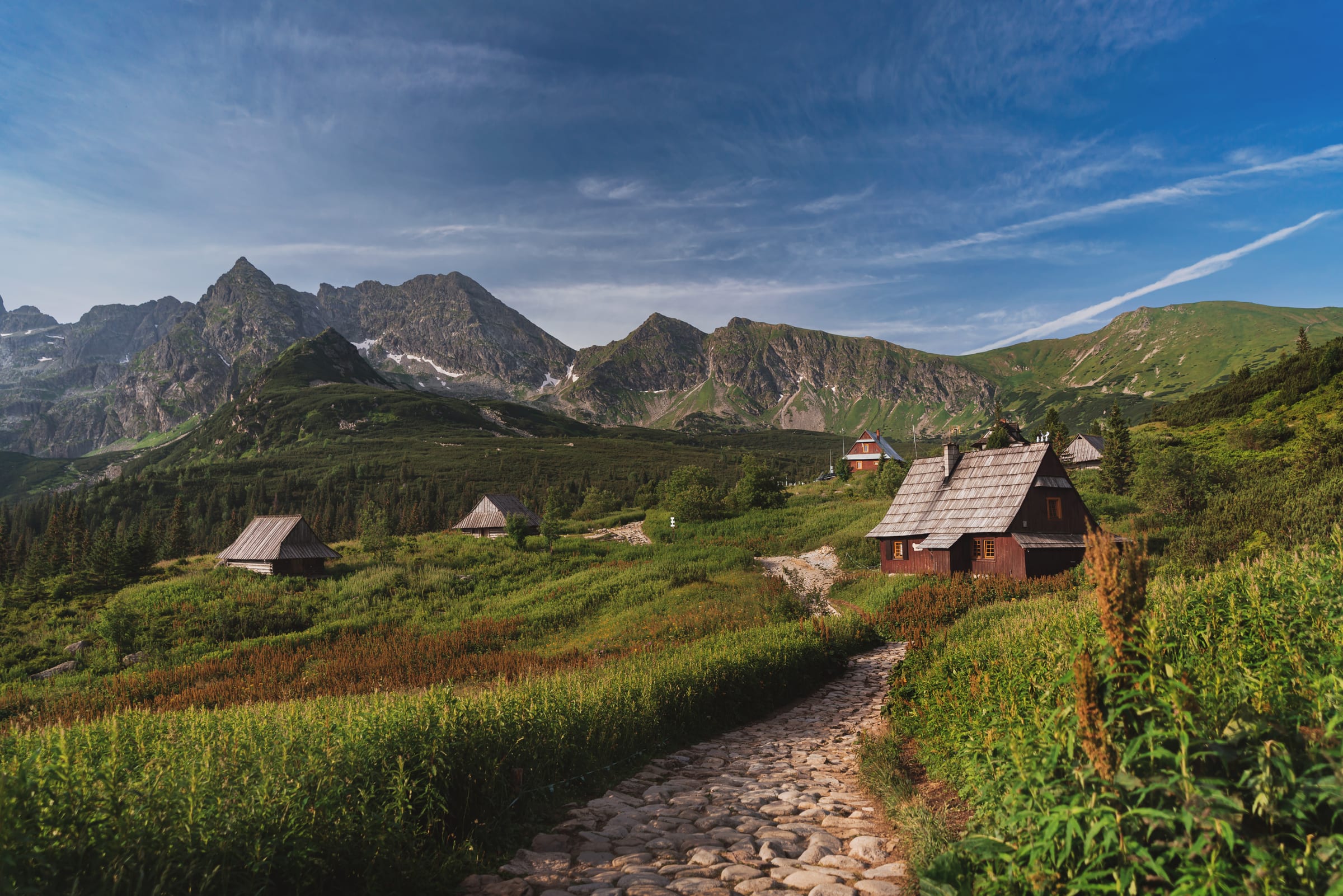
EasyTatry Wysokie, TPN
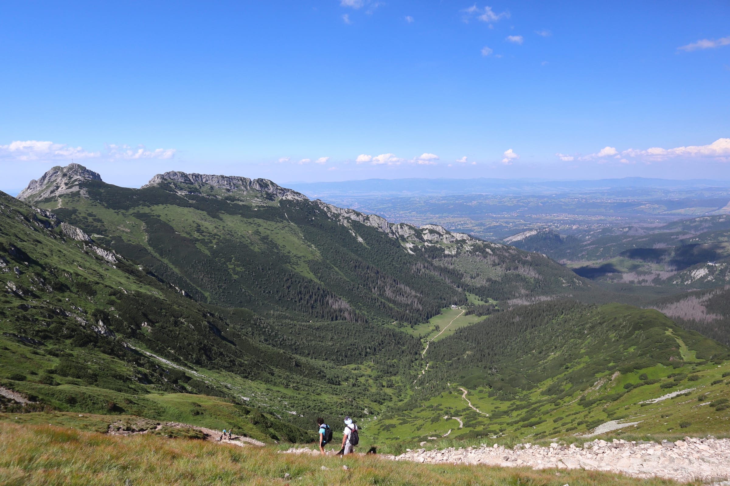
A Tatra legend. This welcoming path leads directly into the High Tatras' granite heart, ending at a historic hut beneath Mnich and Rysy.
 Easy
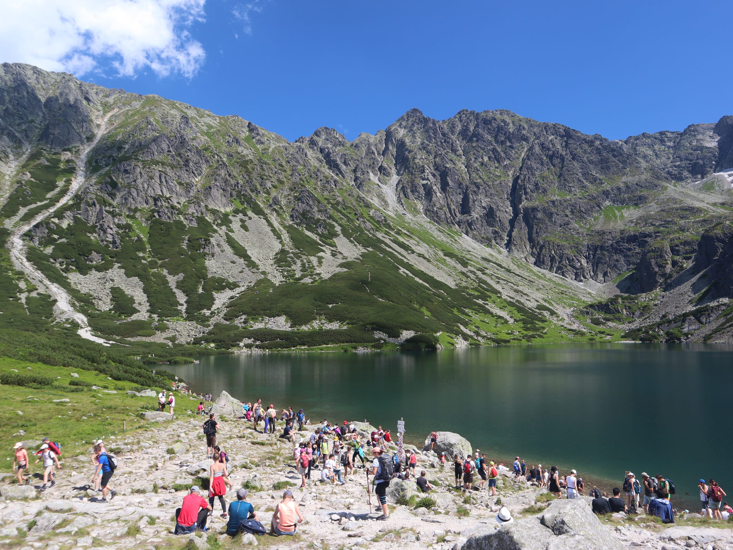
EasyTatry Wysokie, TPN
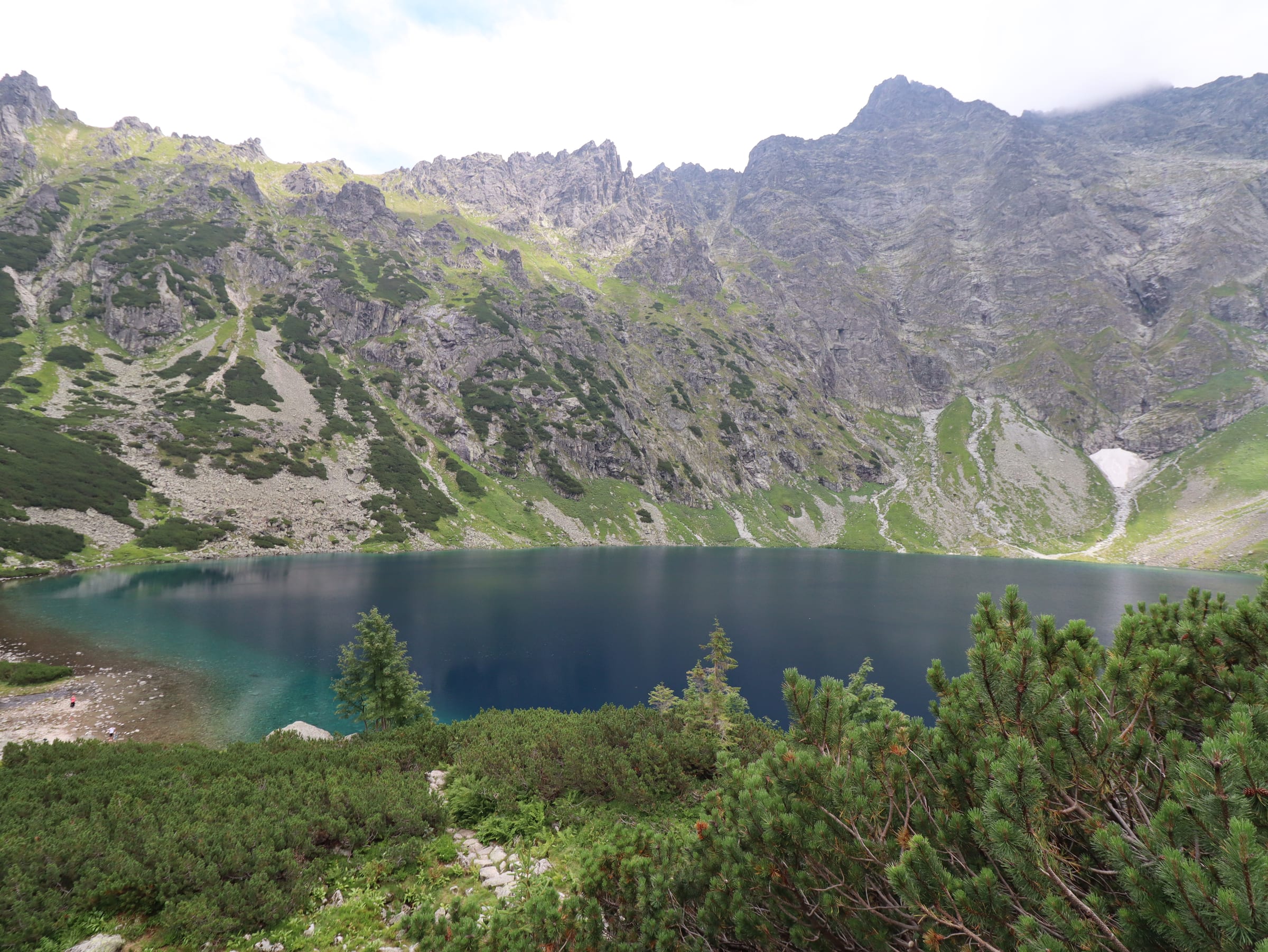
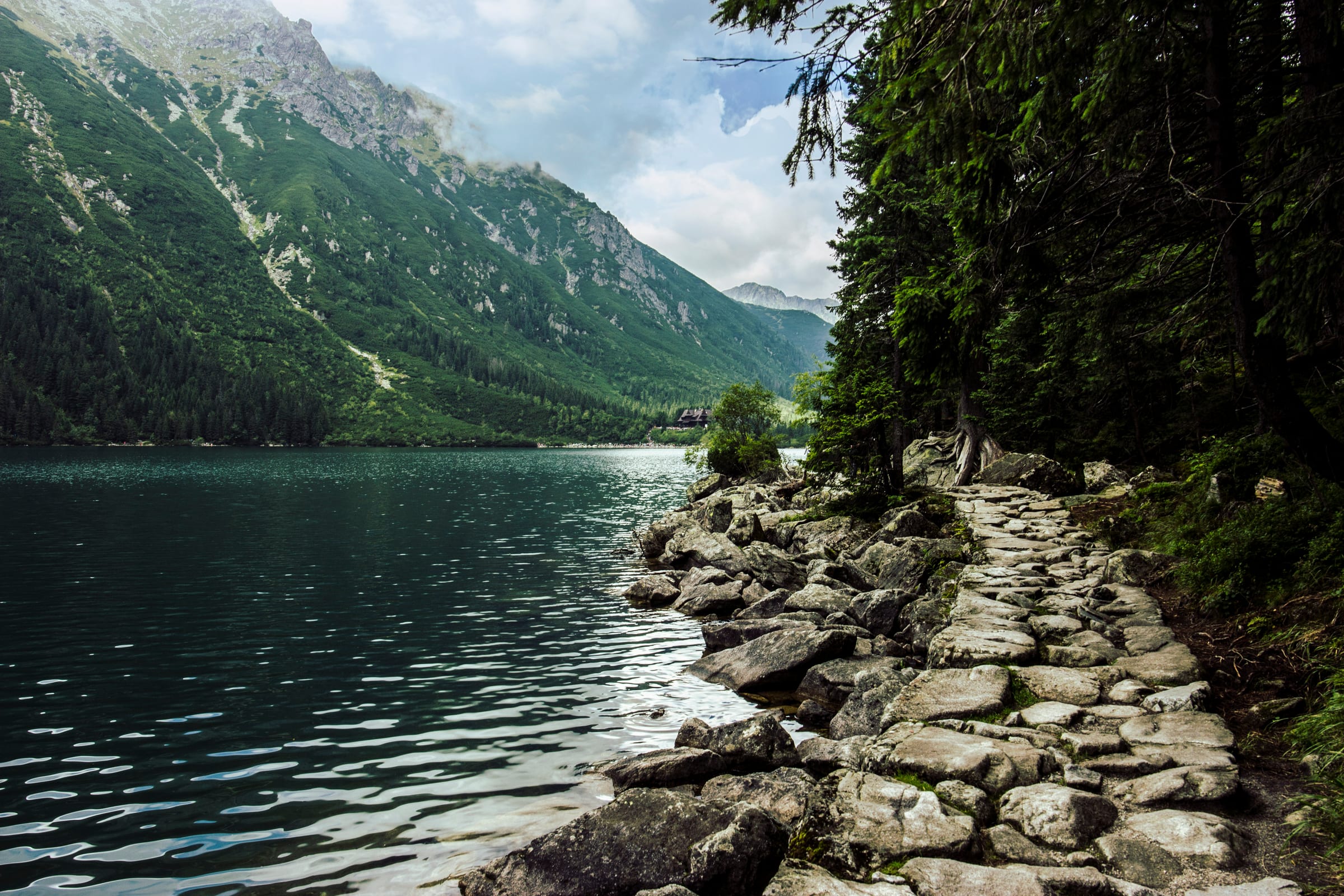
Experience the High Tatras' most famous lake from every angle by walking the quieter eastern shore.
 Medium
Tatry Wysokie, TPN
The definitive step-up for fit hikers — a steep climb to Czarny Staw pod Rysami for the Tatras' most iconic bird's-eye view.
 Easy
EasyWestern Tatras, TPN
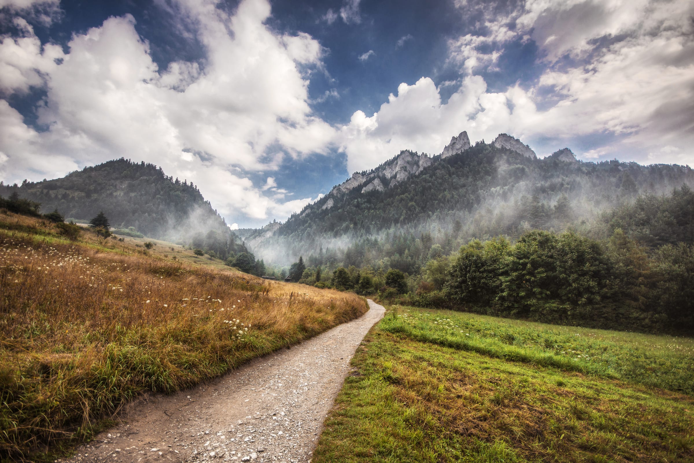
One of the most beautiful Tatra valleys — dramatic limestone gates, mysterious caves, and wide mountain meadows ending at the Ornak hut.
 Medium
Western Tatras, TPN
The classic valley walk extended with a moderate forest ascent to Smreczyński Staw — the valley's hidden glacial lake.
 Easy
EasyHigh Tatras, TPN
The most accessible high-altitude meadow in the Tatras — a gentle forest path to a stunning front-row view of the High Tatra giants.
 Medium
High Tatras, TPN
Upgrade to a complete mountain experience — climb to Gęsia Szyja for a 360° panorama and visit the wooden forest sanctuary at Wiktorówki.
 Medium
Western Tatras, TPN
A diverse route combining a gentle valley walk with a rewarding climb to Czerwona Przełęcz — the ultimate viewpoint for Giewont's northern wall.
 Medium
Western Tatras, TPN
The complete Strążyska experience — the forest ascent to Czerwona Przełęcz plus a side trip to the majestic Siklawica waterfall.
 Medium
High Tatras, TPN
A legendary entry-level route into the High Tatras leading to a vast mountain basin with historic stone huts and panoramic views of Orla Perć.
 Hard
HardHigh Tatras, TPN
Extends the classic loop to reach Czarny Staw Gąsienicowy at 1624 m — surrounded by the vertical granite walls of Kościelec and Zawrat.
 Medium
Tatrzański Park Narodowy
A classic quick-reward hike to the bald summit of Wielki Kopieniec — 360° views of Giewont and the High Tatras with moderate effort.
 Medium
Tatrzański Park Narodowy
A complete ridge traverse from the panoramic summit through quiet forest to Toporowa Cyrhla — efficient and scenic one-way route.
 Medium
Western Tatras, TPN
A short but spectacular ridge hike with frontal views of Giewont and a bird's-eye perspective of Zakopane from Nosal's rocky shelves.
 Medium
Western Tatras, TPN
Two of the best value-for-effort peaks combined — the dramatic cliffs of Nosal ridge and the wide pastoral meadows of Wielki Kopieniec.
 Medium
Western Tatras, TPN
The longest and largest valley in the Polish Tatras — famous for spring crocus carpets, leading to a historic mountain hut.
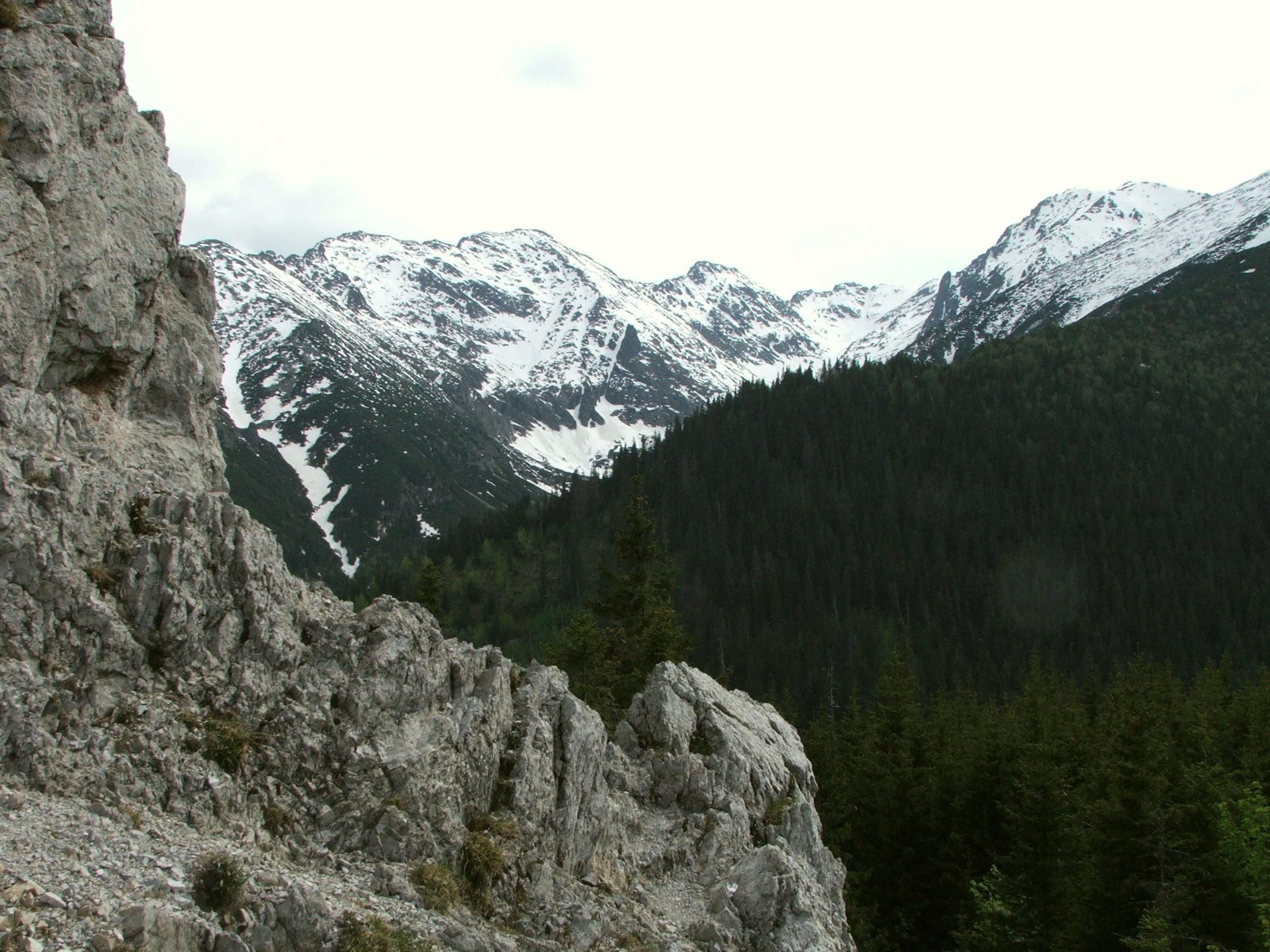
 Hard
HardWestern Tatras, TPN
The gentle valley approach combined with a rewarding alpine ascent to Grześ — expansive views of the Slovak Tatras and the Western Tatra ridge.
 Hard
HardWestern Tatras, TPN
A peaceful alternative to larger Tatra valleys — the vast Wielka Polana Małołącka feels like a natural cathedral beneath Giewont's 600 m limestone cliffs.
 Hard
HardWestern Tatras, TPN
One of the most iconic mountain challenges in Central Europe — ascend the legendary peak of Mt. Giewont with its iconic iron cross and chain-assisted final climb.
 Medium
Pieniny, PPN
The definitive Pieniny experience — through a dramatic limestone gorge to a steel viewing platform with legendary views of the Dunajec Gorge.
 Medium
Pieniny, PPN
Natural wonders and medieval history — the spectacular Three Crowns viewing platform plus the ruins of the 13th-century Pieniny Castle.
 Medium
Bieszczady, BdPN
A journey through time and nature — from valley peat bogs and village ruins through primeval beech forests to the highest Bieszczady summit.
 Easy
EasyGóry Stołowe, PNGS
The king of the Table Mountains — 665 stone steps to a Stone City maze with rock formations, a deep fissure called Hell, and dramatic viewpoints.
 Medium
Góry Stołowe, PNGS
The most complete Table Mountain traverse — from the Stone City summit through the village of Pasterka to the scenic Sculpture Trail.
 Medium
Karkonosze, KPN
A diverse loop through the wild Sowia Dolina to the panoramic summit of Skalny Stół — a dramatic face-to-face view of Mt. Śnieżka.
No fluff. Just the hike.
Most hikers spend more time comparing trails than actually being on one. Wandoo cuts that down — you get the route, the details, and the confidence to go.
See distance, elevation gain, and estimated time before you commit — so you can pick a trail that actually fits your day, not just your ambition.
Shape the route on the web where you have room to think, then open the app at the trailhead. Everything you built is already there — nothing to re-enter.
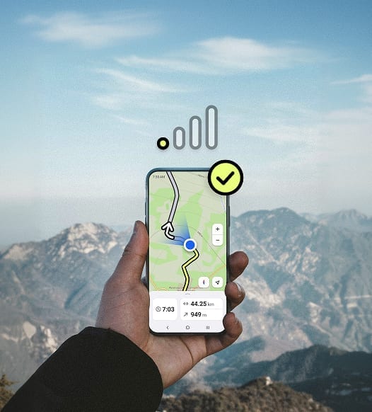
Wandoo is built light. No background drain, no constant GPS pinging. Your phone stays alive for the whole hike, not just the first few hours.
Leading hiking apps drain up to 10–12% battery per hour. Wandoo is built to do significantly better.
Try it right now
Drop your starting point on the map, tell Wandoo how far you want to go and how hard, and get a complete trail back — with the route drawn, distance measured, and time estimated.
Plan a hikeYour route, even without signal
Save what you planned, open the app at the trailhead, and follow the route with everything you need — map, elevation, and timing — right in your pocket.
From planning to trail
Pin your start, set how far you want to go, and watch Wandoo build a trail that actually fits your day. Then take that exact route with you.
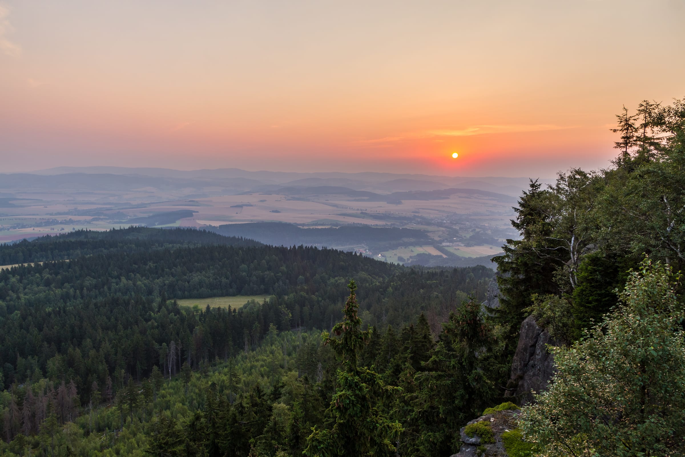
The kind of hike you'll tell people about
The best mornings begin with a plan made in the quiet hours before. Wandoo is where the idea becomes a route — and the route becomes a day you'll remember.

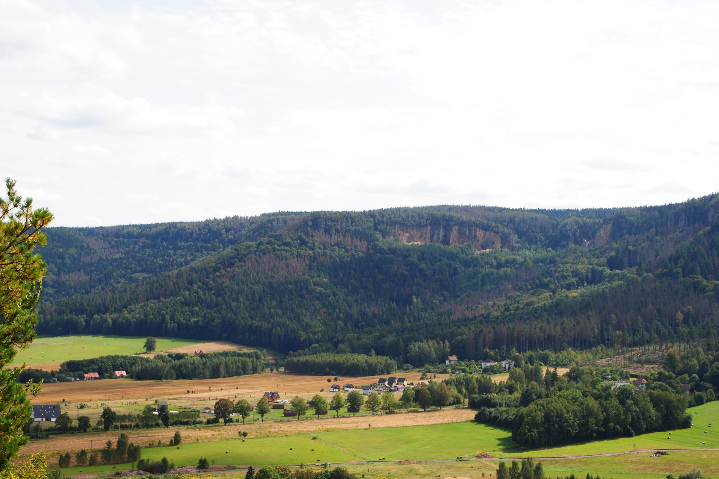
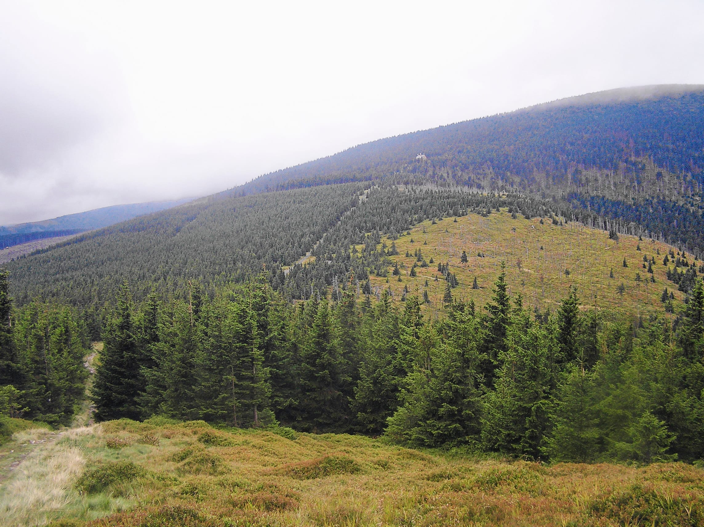
From gentle forest loops to hard summit days, Wandoo helps you find the kind of hike you'll be thinking about all week.

See the route, the distance, and the terrain all in one place. Commit to a plan and stop second-guessing yourself on trail forums.
What you built on the web stays with you on mobile — so when you're packing, driving, or already at the trailhead, the route is right there.
Support
Everything you need to know about Wandoo, trails, and getting outside.
WANDOO Hiking is a hiking and outdoor navigation app for discovering trails, planning routes, and navigating in nature.
WANDOO helps you discover hiking trails near your location using map-based exploration. You can find nearby routes and explore nature around you.
Yes, WANDOO supports offline maps, allowing you to navigate without internet access.
No, you can start using WANDOO instantly without creating an account.
WANDOO emphasizes ease of use, offline navigation, and fast access without requiring registration.
Your next hike is closer than you think
No account needed. Free to start. Take the route offline and head out whenever you're ready.